The lake outburst in portions of Lhonak Lake caused a rise in water levels with very high velocities near about 15m/sec, crossing the CWC(Centre Water Commission) Melli site measuring 227m, near about 3m above the danger level. This is a must-read topic.
Why Glacial Lake Outburst Flood is in the News?
A new study on Glacial Lake Outburst Flood (GLOF) has been published recently, which is a cause of concern for millions of people.
It is the first worldwide attempt to map the potential hotspots for various such floods. The study assesses the conditions of glacial lakes and the number of people who live downstream, has also increased significantly.
Top Key Highlights of the Report?
- The Chungthang Dam, a concrete-rock dam, was breached from its center by the sheer force and speed of the water, estimated at nearly 54 mph. There is a significant damage.
- In the aftermath of the flood, several people have been relocated to relief camps. Additionally, there were reports of twenty-three army personnel initially reported missing at Bardang near Singtam due to a flash flood in the Teesta River.
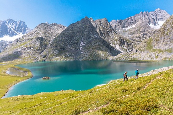
What are Glacial Lakes?
- These are large bodies of water that sit in front of, on top of, or beneath a melting glacier. They are mostly dammed by unstable ice or sediment composed of loose rock and debris, and thus become more dangerous as they grow bigger.
- A breach in the lake wall leads to huge amounts of water rushing down the mountain, and causing what is called a glacial lake outburst flood or GLOF.
- GLOFs can be triggered by various factors, including earthquakes, intense rainfall, and ice avalanches. The recent earthquake in Nepal is speculated to have contributed to the flooding, given the vulnerability of the lake, which covered an area of 168 hectares but has since reduced to 60 hectares, indicating a significant breach in water volume.
What is South Lhonak and How it is related to Sikkim disaster?
- Rising global temperatures and glaciers in the Sikkim Himalayas have been melting, giving rise to many glacial lakes and expanding existing lakes in the region.
- The number of glacial lakes in the Sikkim Himalayas is currently estimated at more than 300, several of which have been identified as being vulnerable to outburst floods. The South Lhonak lake has been under observation for years.
- Since 1989, Lhonak has expanded by nearly 1.5 times, while South Lhonak has grown almost 2.5 times its original size. Historical seismic activity, including a magnitude 4.9 earthquake in September 1991 near the parent glacier feeding South Lhonak Lake, as well as a magnitude 6.9 earthquake on September 18, 2011, approximately 70 km from the lakes, have heightened concerns about potential GLOF events.
- In 2016, the SSDMA and the Sikkim government decided to siphon off water from the South Lhonak lake. Three eight-inch wide and 130-140 meters long high-density polyethylene pipes were used to take out water.
- Scientific studies conducted by the Indian Institute of Science (IISc) in Bengaluru and the Indian Space Research Organisation (ISRO) in 2013 and 2019 had previously warned of the potential hazards associated with South Lhonak Lake’s expansion.
- Satellite data analysis from 2013 indicated that the glacier had receded by 1.9 km from 1962 to 2008, leading to the formation of a moraine-dammed glacial lake at the snout of the South Lhonak glacier in the Sikkim Himalayas.
- GLOFs represent a significant threat to communities and infrastructure in regions such as Bhutan, Tibet, India, and Pakistan. The IISc study recommended the implementation of early warning systems and mitigation measures in areas prone to GLOFs to safeguard both communities and vital infrastructure.
- In conclusion, GLOFs pose a serious risk to regions with glacial lakes, necessitating proactive measures to mitigate their impact on human lives and the environment.